A Route Not For Cars:
Mackinac Island’s Michigan 185
Dividing the upper and lower peninsulas of Michigan and Nestled upon the Lake Huron side of the Straights of Mackinac; Mackinac Island (pronounced ma-kuh-naa) can be described both sleepy and vibrant. Unassuming, yet bustling. The origin of its namesake has roots in the regional Ojibwa language from the word “Mishimikinaak" (ᒥᔑᒥᑭᓈᒃ)”, meaning “Great Turtle.” It was the Anishinaabe peoples in the Mackinac Straights region that likened the shape of the island to a turtle. European exploration of the area saw the region change colonial hands from French to British; with the latter shortening the name to the present-day “Mackinac.” Later on, the island was an important trading post for the British fur trade; as well as thew site of two battles during the War of 1812 before the Brits ceded the territory to the US. Today, now in the US state of Michigan, Mackinaw Island is a popular, yet simple vacation destination for those searching for a quiet getaway to a place steeped and preserved in both history and nature. Truly the crown jewel of a region epitomized by lush green forests and inlets in the North; and the rolling hills of farms and vineyards in the South. Both ringed by what seems like endless coastline in a region of the US that seems subtlety underrated in the beauty of its nature.
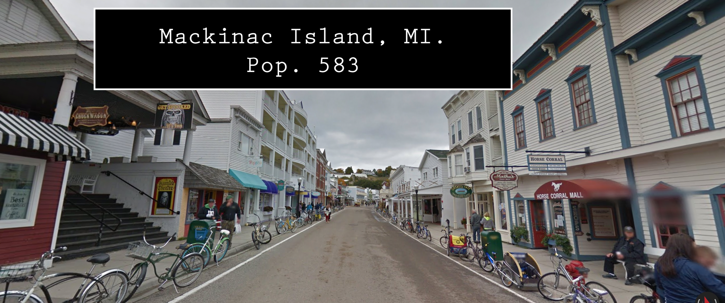
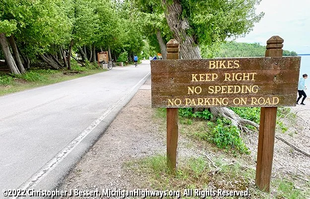
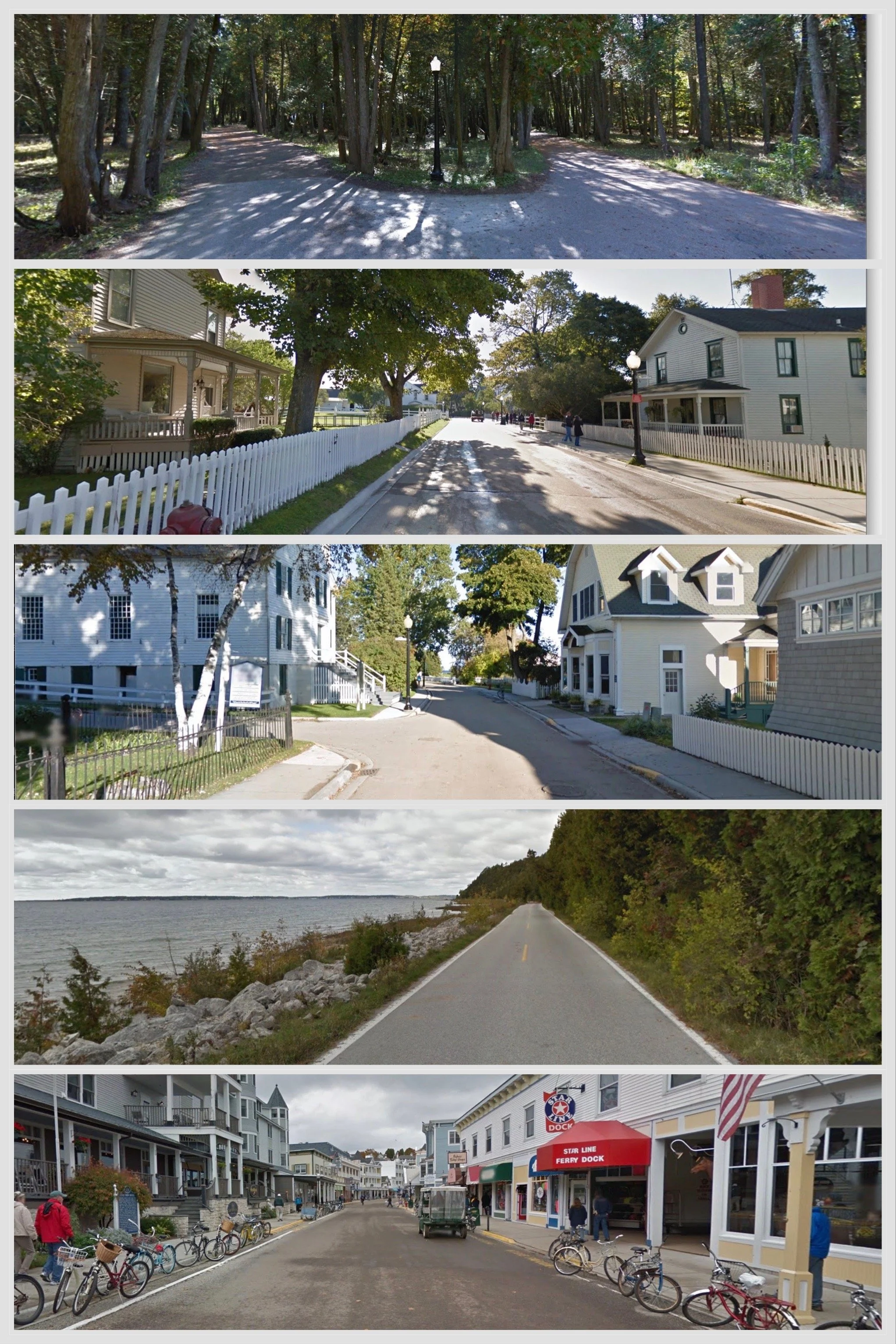
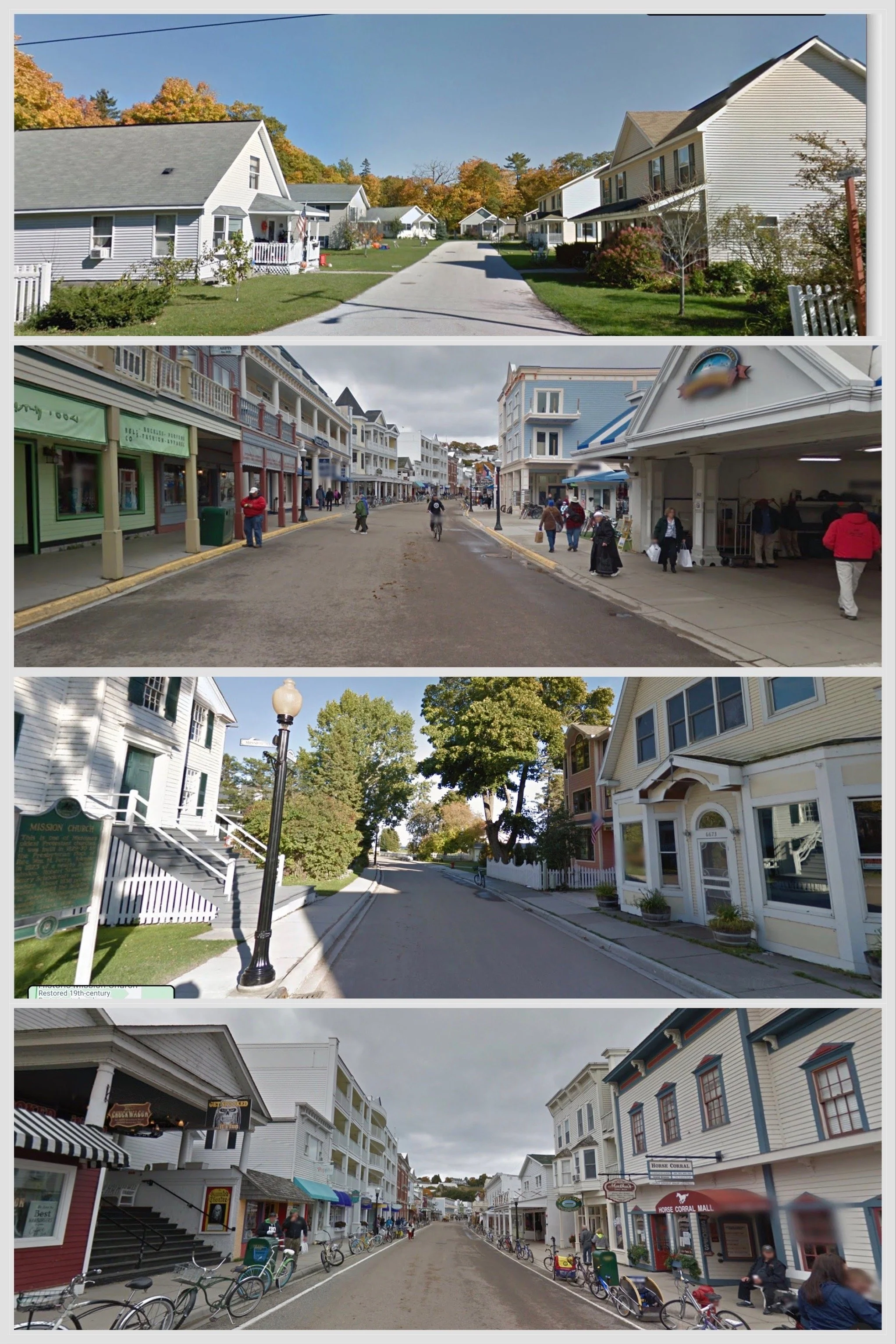
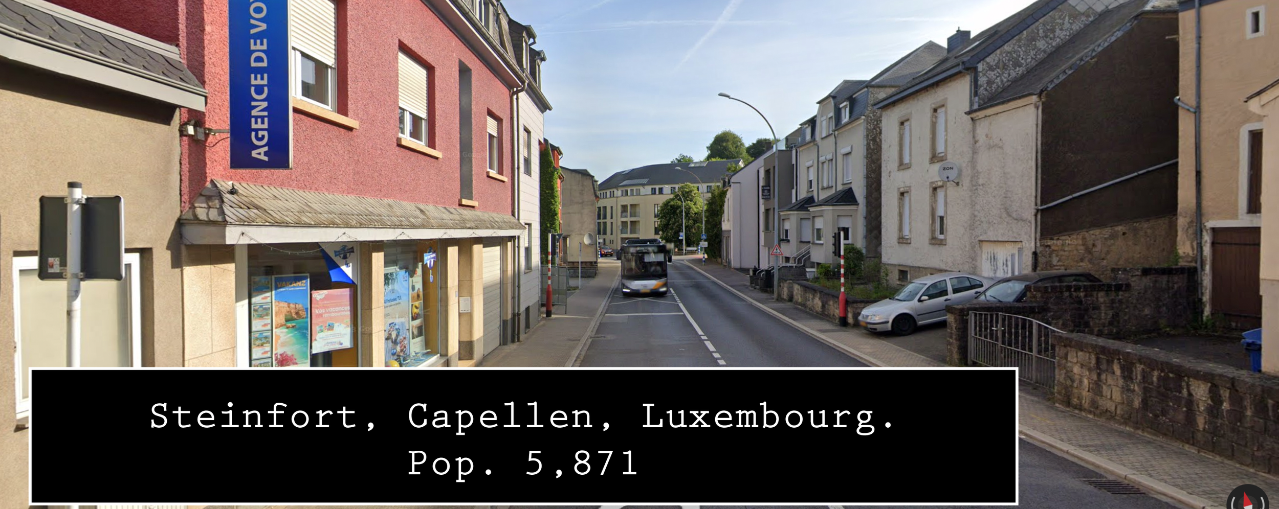
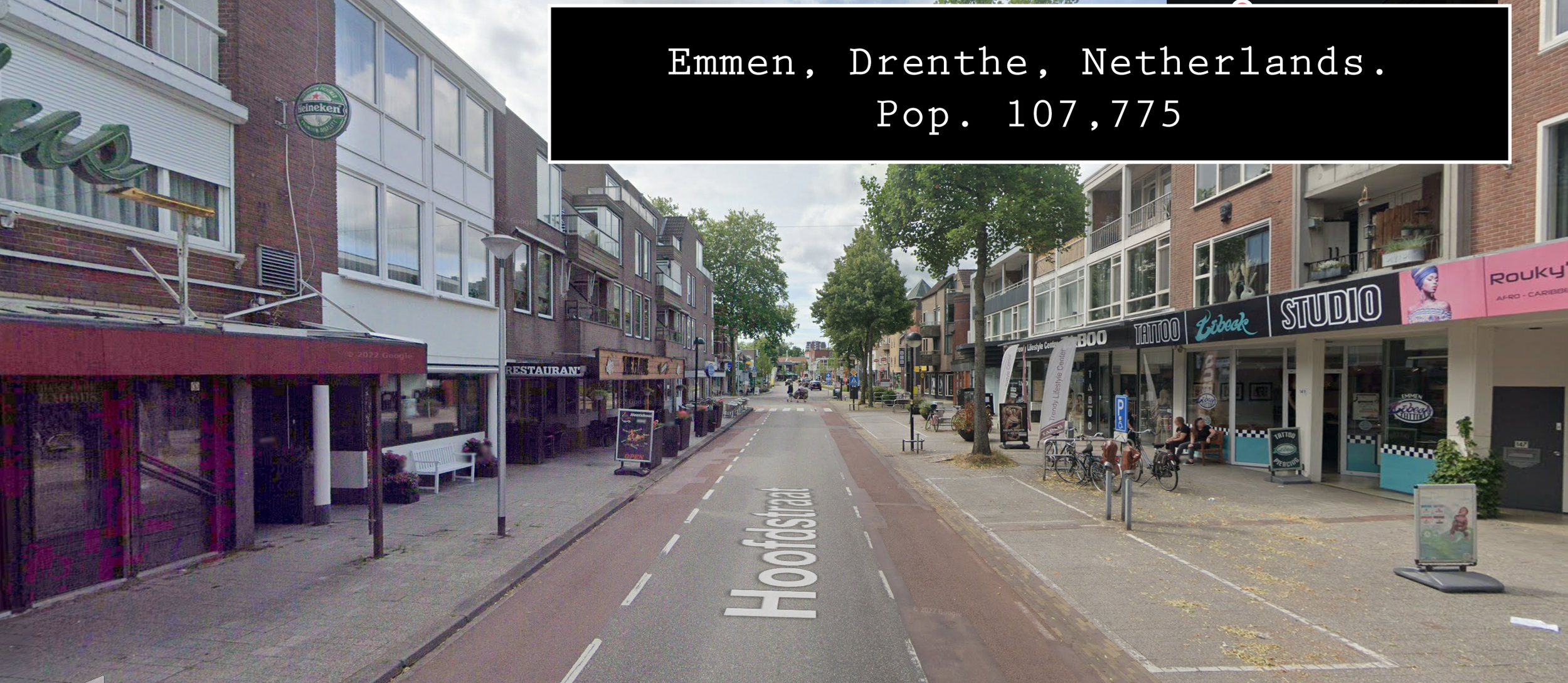
At face value, any tourist will pick up on this. However, Mackinac Island has the Michigan state highway, M-185. According to the Michigan Department of Transportation (MDOT) it’s “the only state highway in the US where motor vehicles are banned.” Indeed, M-185’s traffic is made by foot, horse and carriage, and on bike. The narrow paved route circles the island measuring at just over 8mi (12.8km). Within just those 8 miles you’ll find the scenic landscapes of Mackinac Island State Park. Sites such as; Fort Mackinac, Arch Rock, British Landing, and Devil’s Kitchen dot the route with views of Lake Huron throughout. Though the ring road doesn’t technicality have a beginning or ending. A wooden (as opposed to the usual metal) mile marker 0 was placed in front of the Mackinac Island State Park Visitor Center. In the island’s southeast region is the urbanized area of the City of Mackinac Island. M-185 turns into Main Street as you pass the island’s public school building into the downtown district. Due to no automobile traffic, most of the public buildings are located right on Main Street with very few building setbacks given and no need for large car parks. This gives Mackinac Island a feeling more akin to The Netherlands or Denmark than the state of Michigan.

A city in the United States “banning automobiles” almost sounds impossible considering how normalized and forced car culture is in the country. Mackinac Island, however, was not into the early and exceedingly loud single-cylinder four-stroke engines of the late 19th century. After a doctor’s horseless carriage startled the actual horses to the point of causing accidents. The residents complained; which prompted a ban. So, all the way back on July 6, 1898 the first city ordinances banning all motorized vehicles from the island were passed and, in 1907, was extended to “motor bicycles.” Of course, there are exceptions to the ban such as; emergency, utility, and by-permit, limited time vehicles. For example, in 1979 while filming for the movie "Somewhere In Time”, a car was brought on the island for Christopher Reeve’s character to drive. It wasn’t until 1933 that the roadway would be designated as M-185 when Mackinac Island needed the state highway commission to help cover maintenance costs. Speaking of maintenance costs; between the end of 2019 and the beginning of 2020 M-185 faced high water levels. Large chunks of the road would wash away out of nowhere leaving 4mi of roadway impassible due to erosion damage. By the time M-185 fully reopened in October 2021; MDOT had invested about $6,000,000 in the project overall. Considering the last major resurfacing project finished in 1975 and was first brought back up only in 2016. Maintenance was due.
According to MDOT this recent project included; repaired and upgraded armor stone along the roadway (mainly along eastern and northern shores), previous washed-out pavement repairs, 4 miles of resurfacing, and the repainting of highway markings on the entire 8 mile ring. Though making comparisons of maintainence price tags comes with its own set of disclaimers. I can’t help but notice and think of what could involve a given price of a roadway…
M-185 Rebuild & Maintenance ~ $6 million (2020-2021), 4mi
I-75 2.2mi Business Loop Improvements ~ $12 million (2024)
M-43 Improvements ~ $14.7 million (2022-2023)
M-20 Rebuild ~ $19 million (2023-2024)
US-10 Rebuild/Bridge Maintenance ~ $32.8 million (2023-2024)
I-196 Rebuild ~ $66 million (2022-2023)
I-496 Rebuild ~ $80 million (2021-2023)
I-69 25mi Rebuild ~ $210 million (2020-2023)
I-69 Bridges & I-96/I-69 Interchange Repairs ~ $73 million (2021-2023)
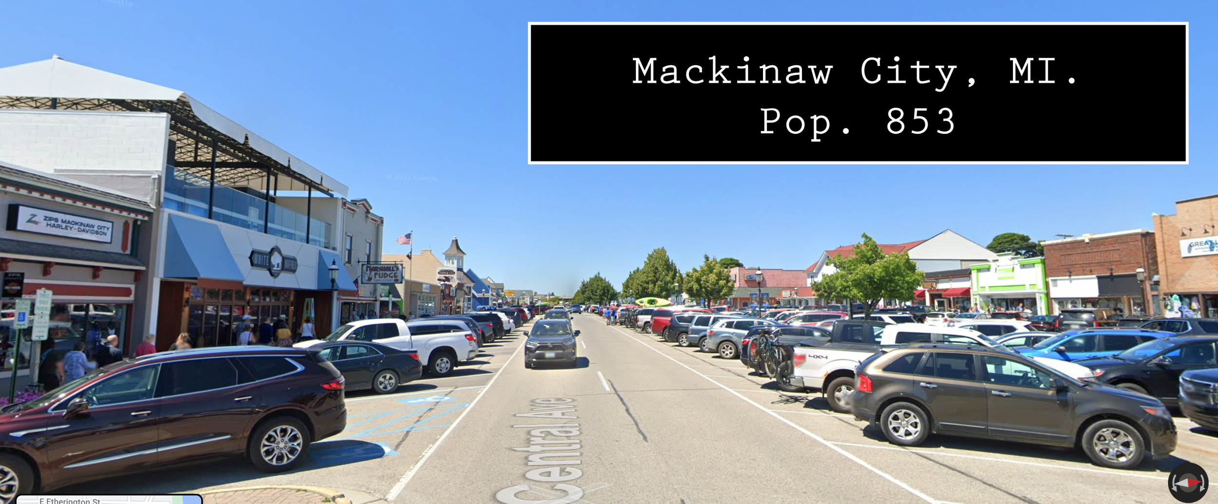
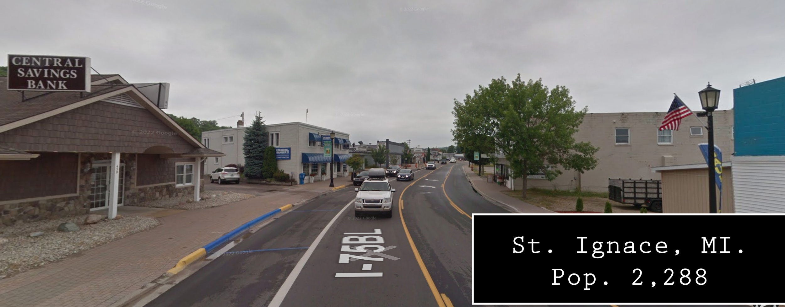
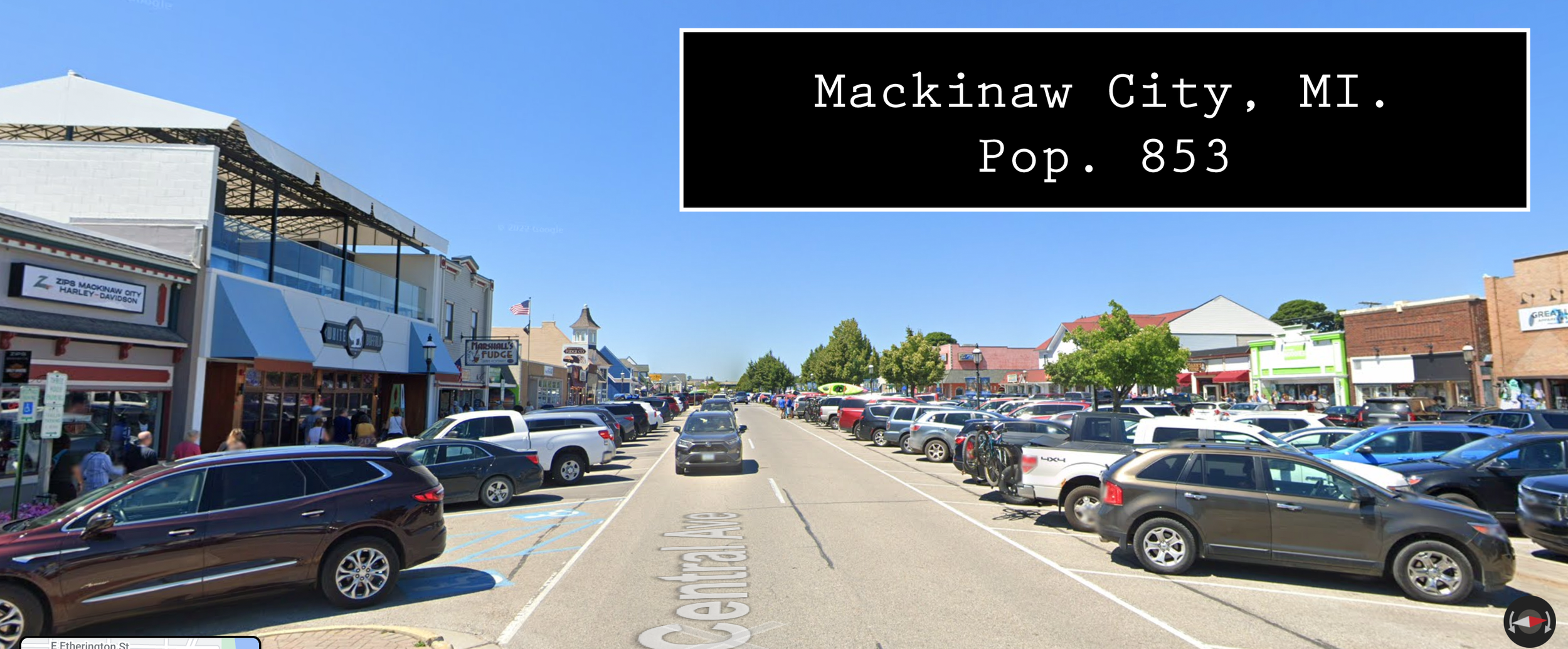
Though comparing monetary values doesn’t make a sustainable picture clear the physical sight of it sure does. Mackinac Island’s carless downtown marks a Main Street dominated by the people giving it the ‘main’ designation. Though a tourist destination, Mackinac Island isn’t an attraction or spectacle. It’s a city with its own economy, citizens, and state highway. Unlike the two other island state highways, M-185 has only a ferry service from Mackinaw City connecting it to the mainland. Though the route is labeled as a state highway; no part of M-185 has been listed on the National Highway System due to not be defined as a highway by the US Department of Transportation. Though not an official US highway; M-185 and Mackinac Island can be used as a community study on the effect carless living can have on a city’s development. Maybe using it as a study we can ask ourselves why Mackinac Island is a tourist destination? I believe we can take those aspects and implement them to scale in our cities.
